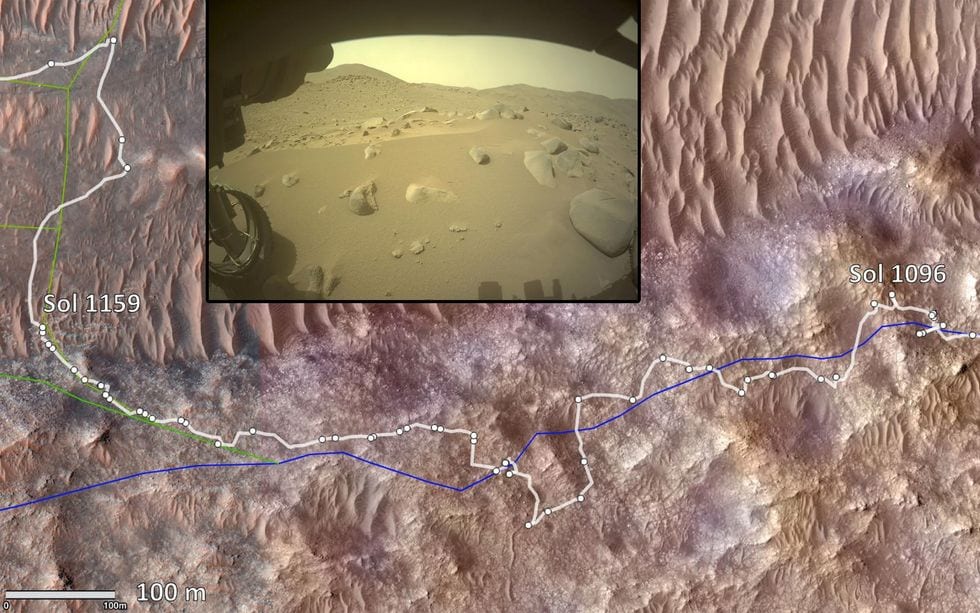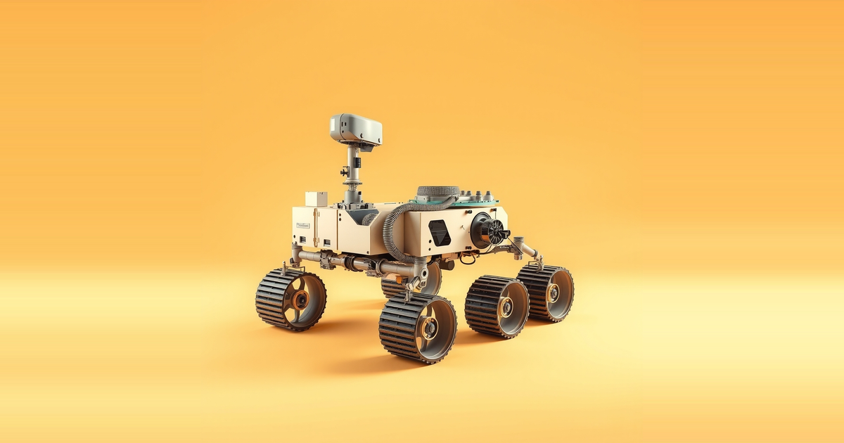
On 11 October 2026, a 299.6-foot drive took the Perseverance rover's total distance on Mars to 28.10 miles, or 45.22 kilometers. That is a new record for Mars rovers. It passes the 45.16 kilometers that Opportunity covered before a planetary-scale dust storm ended its mission in February 2019, in Perseverance Valley.
The Perseverance rover distance record came about five years after the rover landed on 18 February 2021. Mark Maimone, the Perseverance Robotic Operations Deputy Team Chief at NASA's Jet Propulsion Laboratory, explained how it happened. He designed and developed the self-driving software for Spirit, Opportunity, Curiosity and Perseverance.
A record built on autonomy
Opportunity landed in January 2004 for a planned three-month mission and operated for 15 years. Perseverance arrived carrying the Ingenuity helicopter under its body. Like Curiosity, it uses a radioisotope thermoelectric generator rather than the solar panels Opportunity relied on. Curiosity has been on Mars since 2012, a nearly 10-year head start, yet Perseverance was the first to pass Opportunity's total.
Maimone points to several causes, including ruggedized wheels. He names one as the biggest: Perseverance was built for autonomy. The rover drives itself 90 percent of the time, which he describes as a first for a Mars rover. Opportunity and Curiosity each used autonomous driving only about 5 percent of the time. Spirit drove itself 23 percent of the time, and Maimone says that let it travel 50 percent faster than it otherwise could have, even though it moved more slowly in that mode.
The hardware behind this is an enhanced autonomy system that adds a second processor with an FPGA to speed up extra image processing. Its AutoNav software can drive the rover at full speed, up to 120 meters an hour. Sojourner in 1997 had an early form of this capability. It projected four laser stripes onto the ground, measured the height of 20 points in the terrain ahead, and steered around large obstacles, all on a CPU that ran below one megahertz.
Where humans still decide
Autonomy on Perseverance does not replace planning on Earth. The science team sets the destination. A strategic route planning team then proposes a path, working from lower-resolution orbital maps. Each day a tactical operations team combines that route with the day's science goals to choose the path the rover follows.
Maimone says people still do the long-range planning because it saves time. The onboard software measures only the shape of the terrain, not its type. Operators have learned that sandy areas with cross-ripples, where waves run in several directions, tend to trap the rover. They mark those areas as off limits. Orbital images sometimes reach 25 centimeters of resolution, which can still hide a large rock that covers only one or two pixels. He says that gap is why the rover needs its own obstacle detection.
When the software had to be retuned
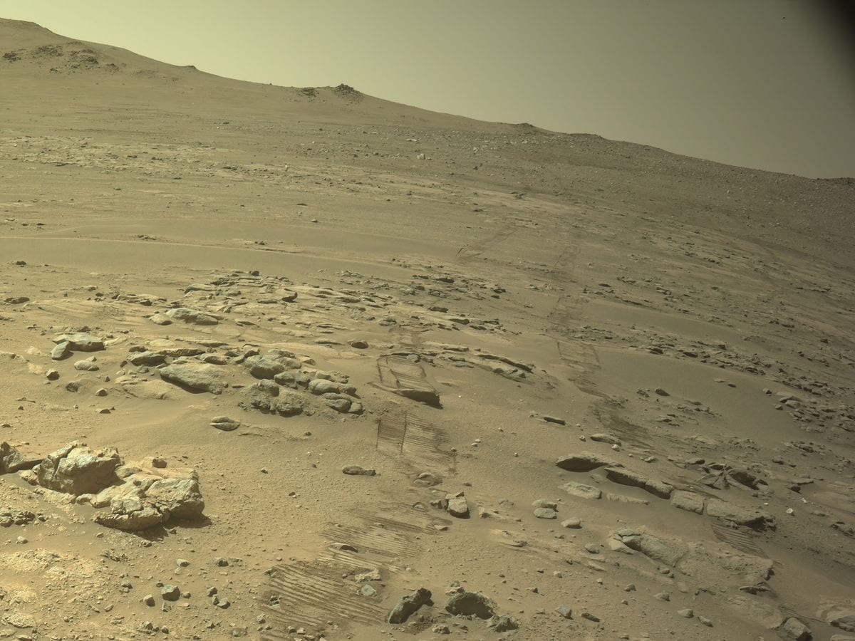
The autonomy system has not worked everywhere. The team stopped using it for about two months in more complex terrain while they tuned parameters and wrote new software. Some changes were quick, and others took months of study. One parameter sets the maximum slope the rover may climb, because steep ground risks sideways slipping.
Jezero Crater, where Perseverance landed, was very flat. For the first three years most driving was on slopes under 14 degrees. After the rover left the crater it met steeper ground with more rocks. The team retuned the parameters so it could cross slopes of up to 24 degrees.
The team has also tried AI for route planning. Late last year, Anthropic's Claude AI looked at orbital images and proposed a path for a 400-meter drive. That path became the starting point for the day's planning. Humans reviewed it and made a couple of adjustments. Maimone says validating a path is much easier than choosing one from scratch.
What the record means and what is unproven
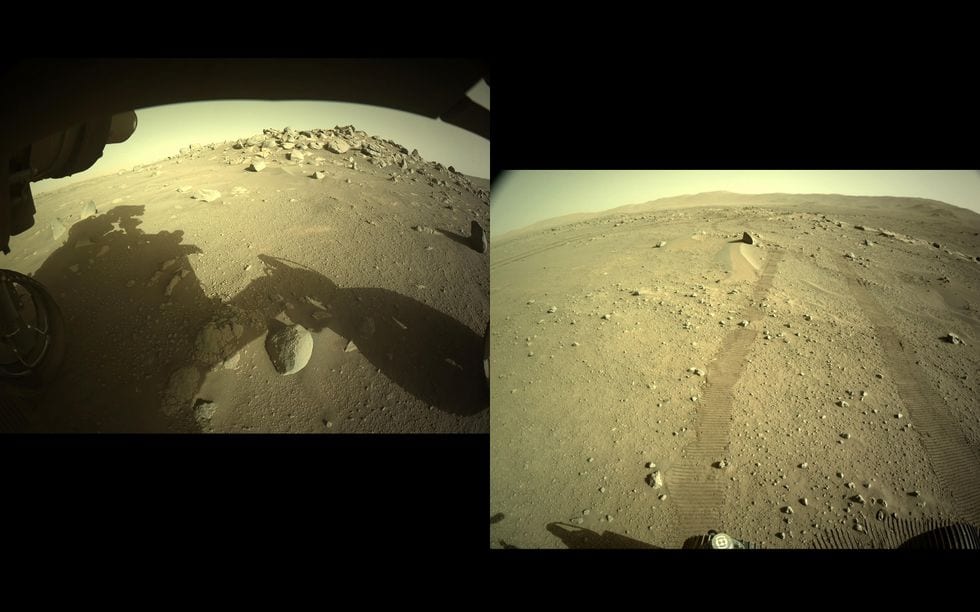
Position uncertainty has limited how far the rover can drive on its own. As that uncertainty grows, the keep-out zones around hazards grow with it, and eventually the rover cannot plan a safe path. A newer capability called Mars Global Localization is meant to shrink that uncertainty. Maimone says it theoretically lets the rover keep driving for as long as it has resources, based on its maps and keep-out zones. Weeks of unattended operation would also require autonomous science operations, which staff are studying through onboard image processing.
The distance margin is small. The new total exceeds Opportunity's by about 0.06 kilometers, so the record marks a trend rather than a sharp break. The more telling figures are the shares of driving done autonomously: about 5 percent for Opportunity and Curiosity, 23 percent for Spirit, and 90 percent for Perseverance. Curiosity had a decade's head start and still did not pass Opportunity, which suggests that autonomy and hardware mattered more than time on the surface.
Several claims remain unproven. Mars Global Localization is described as giving a theoretical ability to drive for as long as resources last, and no extended drive that relies on it has been reported. Autonomous science is still under development. The AI-planned route covered a single 400-meter drive that people checked and adjusted, so it shows AI can speed up planning, not that it can replace planners. The two-month autonomy pause in difficult terrain shows that new terrain can force a return to manual methods until the software is retuned.
Maimone says the team built the software, tested it, and ran millions of simulations. He adds that it has not steered the rover wrong yet, and that the team expects to set bigger records.